These walks are aimed at introducing you to open access land. Access Land defines areas where the public can walk freely on the land, without having to stick to paths. Areas of open access land were designated under the Countryside and Rights of Way Act 2000 (CROW), and include mapped areas of mountain, moor, heath, downland and registered common land.
People across England now have approximately 865,000 hectares of land across which they can walk, ramble, run, explore, climb and watch wildlife as they are given the freedom to access land, without having to stay on paths. If you want to find out more about open access land, further information and maps are available on the Natural England website.
These walks and leaflets were developed by the Ramblers Association with the support of an Environment Grant from South Gloucestershire Council.
Warmley to Siston Common. An 8km (5 mile) route, estimated time 2-3 hours, starting at Warmley Forest Park, London Road, Warmley. Car parking available on corner of Station Close/London road.
This walk takes in Warmley Forest Park, then heads through Siston Common, across farmland to Siston Court. There is an option to explore the eastern part of Overscourt Wood, or take the more direct route back via Webbs Heath.
Chipping Sodbury. A 7.3km (4.5 mile) route, estimated time 2 hours, starting at St John's Church in Chipping Sodbury.
The walk starts in the historic market town of Chipping Sodbury, through Sodbury Common, a large area of open access land, which offers an opportunity to explore and extend the walk.
The route then heads into Little Sodbury End, and then Little Sodbury, before returning across fields and back to the southern end of the common.
Easter Compton. A 5km (3 mile) route, estimated time 2 hours, starting at All Saint's Church in Easter Compton.
This is a walk of contrasts. The untidy urban fringe and the roar of the motorway is balanced by peaceful green fields and the ancient parish church in Compton Greenfield.
The walk starts at All Saints Church in Compton Greenfield. There is a car park next to the church which is accessed from Bowstreet Lane off the main road through Easter Compton. From here the walk passes through fields, then along the edge of the M5 motorway, before heading through attractive countryside with fine views over the River Severn from Spaniorum Hill, and then heading back to Compton Greenfield.
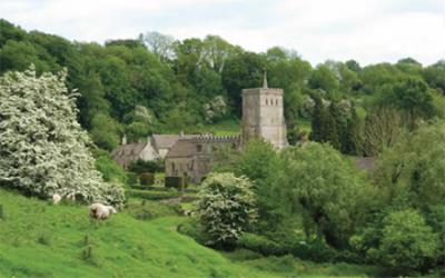
Hawkesbury & Inglestone Commons. A 5.7km (3.5 mile) route, with an optional diversion of 1.2km (3/4 mile) to Hawkesbury Monument. Estimated time 2-3 hours, starting at St Mary the Virgin Church, Hawkesbury, Badminton.
The trail starts at St Mary the Virgin church in Hawkesbury, linking Hawkesbury Knoll with Inglestone Common and Hawkesbury Common via lanes, paths and field paths. There is also an opportunity for a detour to visit the Somerset Monument and to climb the Knoll.
Note
Note that we have not checked routes for accuracy or suitability unless clearly stated. Use of the routes is at your own risk. Full terms and conditions are here.
If you find any problems on any of these routes, it is very helpful if you let us know - thank you!
Follow OutdoorsWest on social networks where we'll let you know as and when routes are added. And explore even more routes using the Maps and Routes menu on the left.